
Heritage Conservation & Monitoring Pty Ltd
Monitor.
Capture.
Conserve.
HERICON delivers heritage monitoring, conservation, bulk earthworks and water management across Australia's most demanding resource projects — grounded in cultural respect, executed with technical precision.
Our Mandate
Heritage is not a checkbox. It is the ground on which we work.
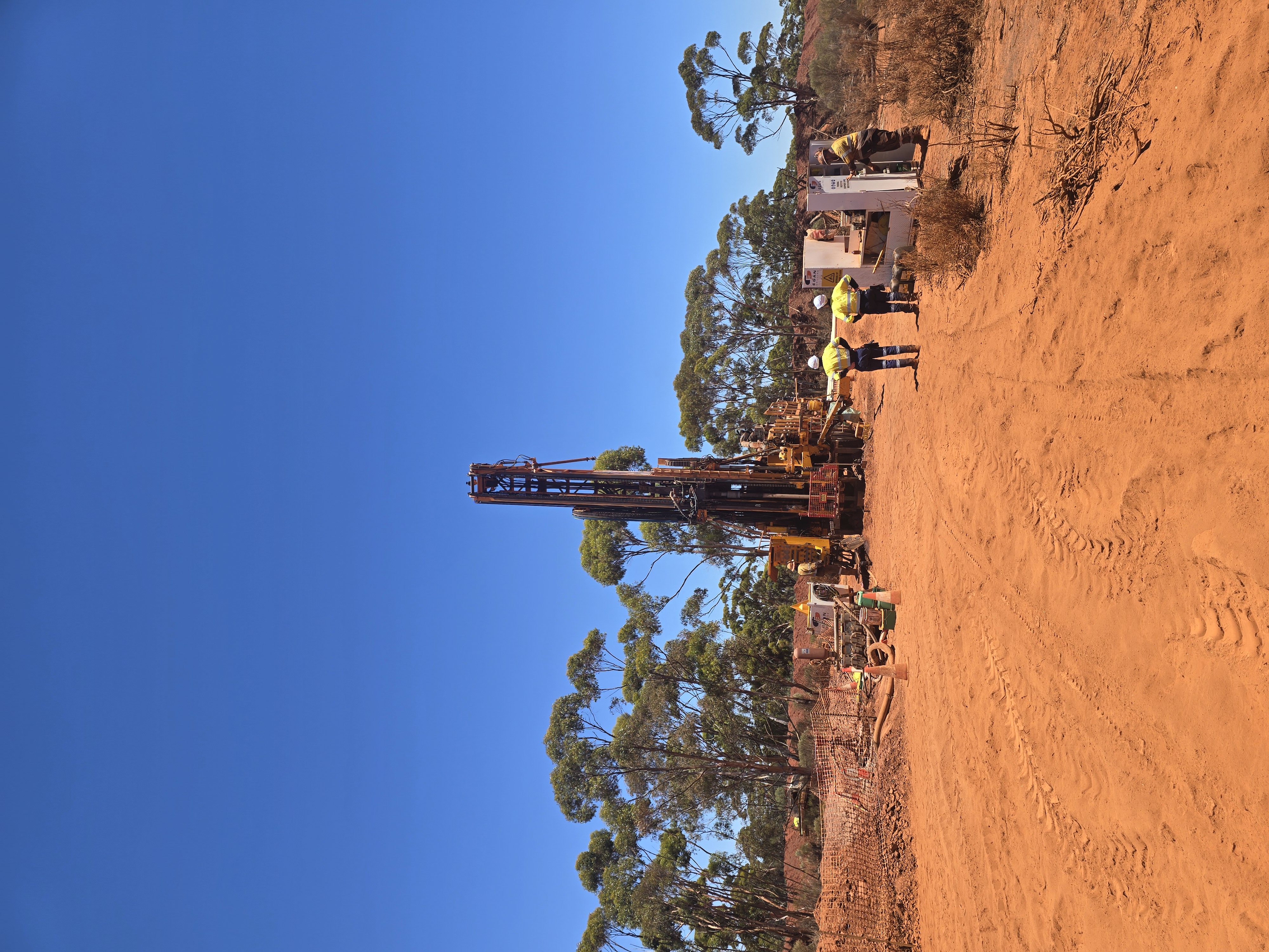
From the Karijini ranges to the iron ore basins of the East Pilbara, HERICON brings together field monitors, surveyors, machine operators and engineers under a single mandate — protect cultural heritage while delivering the earthworks our clients depend on.
The HERICON Brief
Watch how we close the compliance gap.
A short brief on why drone-captured, GIS-mapped evidence is the fastest way to satisfy AHA and Section 18 requirements — and protect the project before issues become breaches.
Specialisations
Five disciplines.
One integrated team.
Heritage Monitoring
Real-time monitoring of ground disturbance activities across culturally significant landscapes. We combine experienced field monitors with GIS, GPS and drone-assisted survey workflows to maintain a defensible record of compliance.
Heritage Survey & Conservation
Targeted and area-based heritage surveys, salvage programs and long-term conservation planning aligned with Section 18 / AHA requirements and contemporary best practice.
Bulk Earthworks & Construction
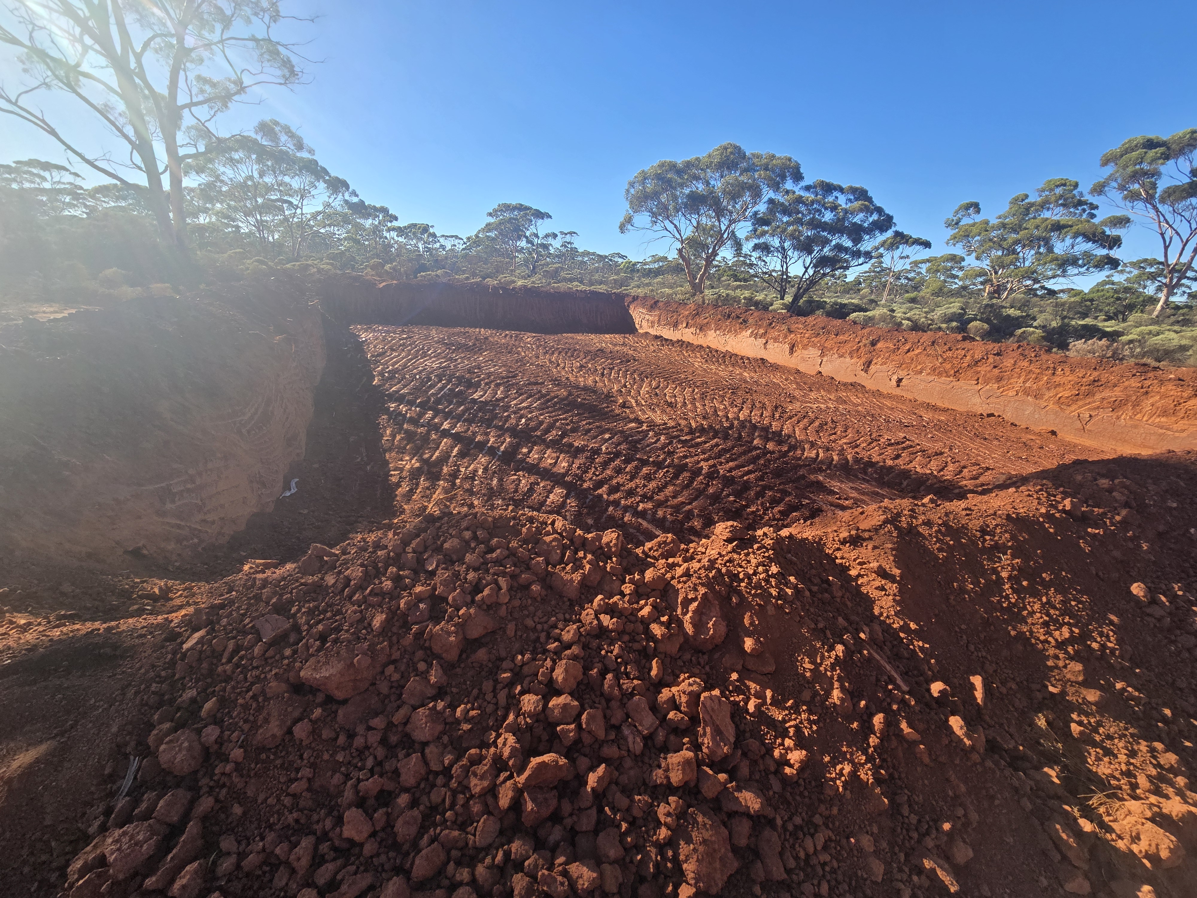
Self-performing bulk earthworks for rehabilitation, civil and water infrastructure. Excavators, dozers, graders and rollers operated by ticketed crews with embedded QA and HSE oversight.
Water Retention & Management
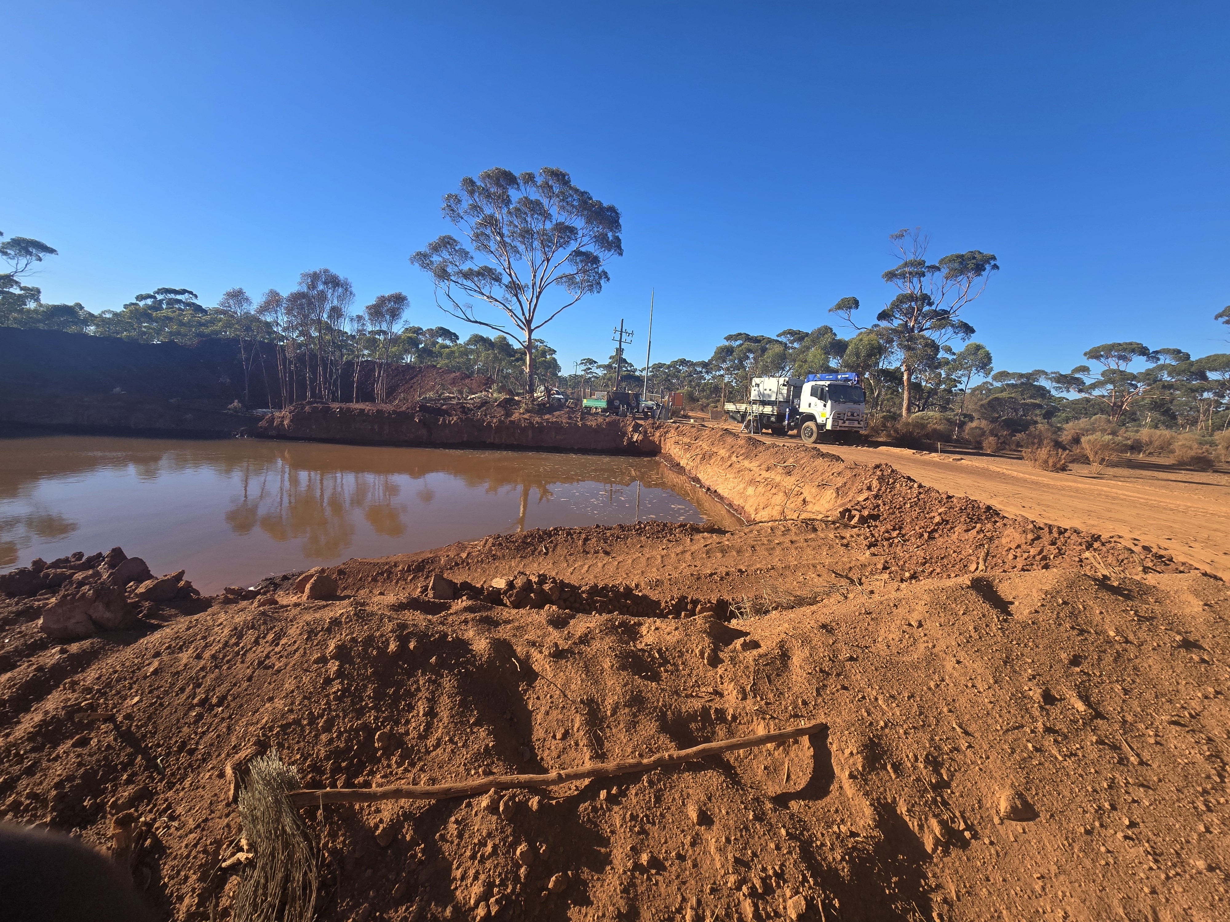
Surface water and sediment control structures engineered for wet-season events and long dry stretches — built to protect operations and downstream environments alike.
Drone-based rehabilitation.
Purpose-built seeding drones reach the steep batters, high-walls and ecologically sensitive corridors a tracked machine cannot — placing native seed mix precisely, with GIS-mapped evidence of every flight.
See the drone in actionSelected Works
Projects we are proud to have shaped.
Drone & GIS Capability
From the air, nothing is missed.
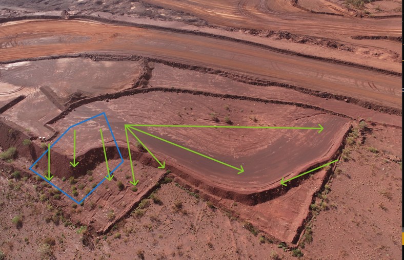
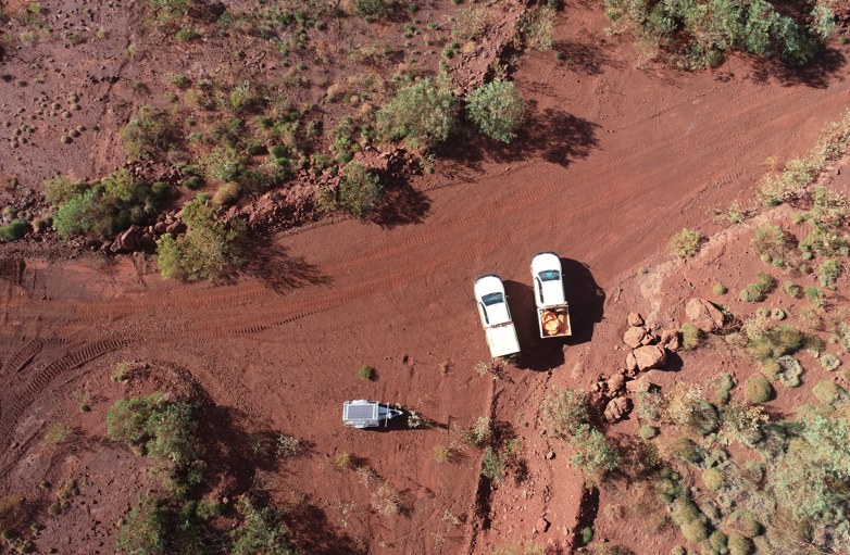
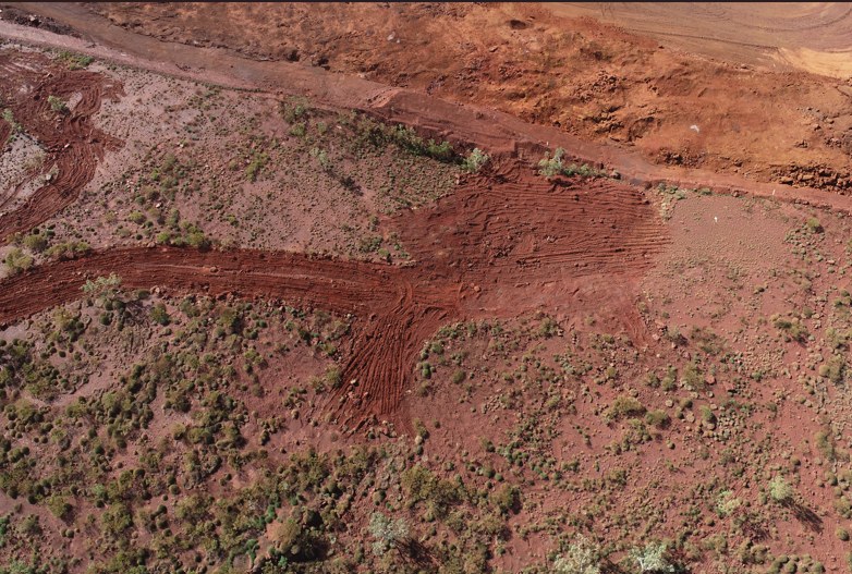
Every HERICON scope is documented by UAV — exclusion zones mapped, landforms annotated and rehabilitation tracked over time. Defensible evidence, captured from above.
Engage HERICON
Have a site that needs heritage-led rehabilitation?
Talk directly with our principal. We respond to every enquiry within one business day.